Climbing Bimberi Peak
Elevation: 1,911 metres Nearest town: Adaminaby
Difficulty: Medium Date[s] climbed: 04/04/2006, 27/12/2010 Location: A.C.T. Author: Brian

Bimberi from Oldfields Hut
I've had the pleasure to climb "Bimberi Peak" twice. It's the highest “mountain” in the ACT and is located in the Namadgi National Park. (The term “Peak” is seemingly used unilaterally when another mountain in the area has a similar elevation. The next highest peak in the A.C.T. is named “Mount” Gingera, which is only 50 odd metres lower at 1,857 metres. Hence inconsistency in the naming convention)
The first climb was with my son Phil and our friend Graham Field. This write-up describes Graeme’s and my most recent climb. Our original plan was to combine Bogong and Bimberi in one short trip however having climbed Bogong my son Kadison, who accompanied us, was pretty leg sore and we decided to defer until another date. (Our drive home from Bogong to Cooma via Kiandra was fabulous)
Warning
As for all alpine walks, the weather is the great variable. It is best to climb late Spring and Summer, however it is possible to get snow or/and whiteouts during that period as well. The final ascent from “Murrays Gap” is unmarked and will require a level of bush bashing until you climb above the tree line. You will be fine if you keep heading up. More on that later.
History
Anyone who has climbed Bimberi has probably puzzled over its location right on the NSW/ACT border. It seems, from much Googling, that when the ACT was carved out of NSW back in 1909, Bimberi was one of the main survey points when the official survey was undertaken. There is an interesting website, http://www.actpla.act.gov.au and search for field books. These books contain scans of the many original ACT surveys, which are worth a quick look. (It would be great to have an overview of the terms of reference for that survey – I’ll keep looking)
I've included an image of one of the many hand-drawn diagrams. These notes evoke visions of the surveyors laboriously making their way up the flanks of Bimberi armed with little more than their chains and basic instruments, fighting fairly thick bush. Creating a new Territory. What a fantastic experience. Apparently, many of the old survey marks still exist today and of course the key trig point is right on top of Bimberi.
We still haven't been able to find out how Bimberi was named but will continue looking. Of interest is the fact Bimberi was used as the terminus axis point when Canberra was first laid out in its now classic position.
The Climb
After an overnight stay in a 2-star motel in Adaminaby, we head up the Tantangara/Pockets Saddle Roads, early morning, arriving at a closed gate blocking our way, some 29 km's in. It’s a nice drive in itself, particularly as it is a beautiful day. Up the Saddle Road a bit and we strike east up a well-formed track.
It's a reasonable track all the way in to Oldfield's Hut which is home to a number of overnight campers. Enjoy the experience of Oldfields. Lots of interesting pics on the wall. You can see an enticing view of Bimberi in the distance from the hut. A quick chat and we resume our journey, now in a more easterly direction, along bush tracks that meander slowly up towards Murrays Gap. The going is easy apart from a couple of steep sections; the medium bush is punctuated by the odd stream and open meadow. A very pretty walk. Murrays Gap, (at approximately 1,530 metres) sits on the border and is the trigger to make a sharp turn left.
There has been much written as to whether there is a formal track from Murray's Gap to the summit. There certainly isn't a formed track however the best route is marked by small cairns of rocks every 50 metres or so. You have to keep a close watch for these but well worth the effort as on the previous summit we bush bashed all the way to the top! Access to that informal route is about 150 metres back from the Murrays Gap sign. You have to track north through the marsh to find this turn point.
We subsequently approached the authorities with a suggestion they establish a small sign indicating the way up however this was knocked back as it is considered a “wilderness area”. I personally disagree as a modest sign would be in keeping with the enormous Murrays Gap sign and mitigate the habitat destruction and random bush bashing needed to get to the top. Lack of a sign is possibly the reason so few people scale Bimberi.
Regardless, summiting is straight forward from Murrays Gap. You break out of the tree line about a kilometre from the summit and run into a crude track which takes you to the summit. It has been a really pleasant walk and Graeme releases his excess energy by doing a couple of chin ups on the trig point marker. We still have to walk back Grae! Our GPS indicates we are at 1,933 metres. Recalibration due?
The views from the top are rewarding, a great place to immerse in the locale and allow the heady reward of summiting to sink in. Another State 8 in the bag. A pleasant, but Graeme pace walk/canter back to the car and we head home.
Ed. Since our walk in 2010 huge bushfires have devastated the area and it is unclear whether Bimberi survived that onslaught. Gingera, the second highest peak in the ACT and nearby, was virtually burnt out.
Bimberi Peak - Click on an image for full resolution


Climbing Mount Gingera
Elevation: 1,857 metres Nearest town: Canberra
Difficulty: Moderate Date[s] climbed: 24/06/2018 and 10/11/2019 Location: A.C.T. Author: Brian

Mount Gingera from the Corin route
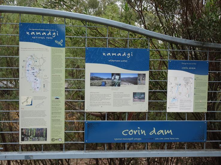
Mt. Gingera is the second highest peak in the ACT at an impressive 1,857 metres. Back in March 2018, we scaled Mt. Gingera via the Corin Dam route. It was a nice climb but sadly we were confronted by a whiteout on top. The November 2019 trip will see us attempt to see the view from Mt. Gingera on a nice clear day as the first leg of a combined Mt. Gingera, Mt. Feathertop outing. The trip will also enable us to catch up with my son Kadison who lives in Canberra, then enjoy driving down to Cann River then up to Mt. Hotham via the Great Alpine Way, a route Graeme hasn’t taken before.
Bushfire Update
In January 2020 bushfires ravaged the Namadgi National Park. More than 20% of the total ACT area was burnt. The park is still closed. Recently Kadison undertook a quick reconnaissance of the area. Although stopped at the Mt. Ginni gate, the duty Ranger confirmed Gingera had indeed been burnt out, but Pryor’s Hut had been saved.
Warnings
Climbing Mt. Gingera by either the Corin Dam or Mt. Ginni routes is straightforward with both routes well marked and defined; noting the Corin route is more challenging physically as there is a steep 2 km start to that route. The area is noted for snow in winter and due care should be exercised during that period. We only found limited water in one location on the eastern side of the Mount Franklin Road just before you branch off to the summit.
History
The ACT was established on the 1st of January 1911 by an act of the Australian Parliament. This probably wasn’t (and still isn’t) well received by the local indigenous people who reputedly have lived in the area for some 21,000 years. The ACT boundary was surveyed during the period 1911 through 1915. The original survey notes and sketches are available on-line, are quite interesting reading and a great snapshot of the survey era. - www.planning.act.gov.au/tools - search for field books.
Mount Gingera, Ginni and Bimberi virtually sit just inside the ACT border. Many of the old survey markers are still there and we encountered some of those when we climbed Bimberi. (A steel pipe capped by a small cairn) Unfortunately, at this time I haven’t been able to determine who or what Mt. Gingera was named after, when it was first climbed, or by whom.
Planning
Graeme and I are well known for tight planning and this trip was no exception.
Depart the Central Coast NSW on a Friday morning and drive to the Mt. Gingera railhead, climb it and back to Canberra for dinner with Kadison. Saturday, drive to Mount Hotham. Sunday, climb Mt. Feathertop and on Monday return home. Zero contingency. Fortunately, it all fell into place, sort of….
Climbing Mt. Gingera is well described on the web with two key routes. This time we chose to drive to the Mt. Ginni car park which is on the Mt. Franklin Road. The round trip from there to Mt. Gingera is approximately 15k.
The Climb
The drive to the ACT is uneventful, bolstered by a coffee at the Eling Forest Winery. We head up the Mt. Franklin Road however our (un) trusty Nav system in the Audi isn’t locked into the Mt. Ginni carpark and we take a premature left turn down a track which we are convinced will head us in the right direction. A bad move as it peters out into a track brumbies would find hard to follow. We humbly retrace our tracks and stay on the original road, which finally takes us to the Mt. Ginni car park. Much of the Mount Franklin Road is dirt and given we are still in drought conditions the road is very dusty, but in fine shape for regular vehicles.
Mount Franklin Road is blocked by a gate at the carpark. The weather is clear but brisk and we head off down the road which is well formed and easy to follow. We pass through Stockyard Gap and soon see a trail off to our left which connects to the Corin dam alternative track. Mount Franklin Road is undulating but easy walking. We pass Pryor’s hut on our right which signals our imminent approach to the turnoff to Mt. Gingera. This walking track to the right is on a sharp bend in the road at around the 7k mark and there is a stick marker. (This is in stark contrast to the final climb up to Mt. Bimberi which is not marked at all and it’s light scrub bashing until you encounter the snow line)
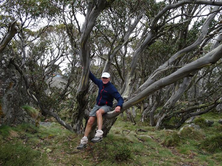
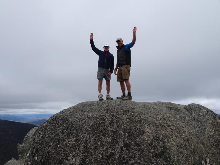
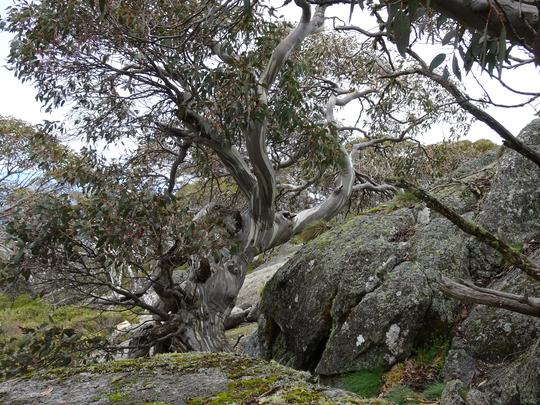
The track is well defined and it quickly wends its way upwards to the summit. It is quite cold on top and blowing a gale. The highest point is a substantial rock which you need to clamber up. Smiles, a handshake and we enlist the support of other climbers to take a couple of pictures of us on top. There are great views from the summit and you can see Mt. Bimberi nearby. There are a couple of beautiful snow gums just below the summit which are worthy of a picture. I am hopeful they have survived the bushfire. It is bitterly cold and we are in our usual shorts attire, so we decide to descend back to Pryor’s hut and have lunch there.
Pryor’s hut sits bang on the ACT/NSW border. Built in the 1950’s it is crude but full of character. It is unlocked and has a fireplace and a couple of rooms, a very handy facility if you encounter snow etc. There is also a drop loo. The story goes the front door is in the ACT and the back door in NSW. Correct or not I love the concept. We chat with a couple of young guys who have camped there overnight and are about to head back to Corin dam. A leisurely lunch and we head back to the car. It is only 15k round trip but we are not unhappy when the car comes into view; it has been a longish but very enjoyable day.
We are conscious we have to meet Kadison for dinner in Canberra at 6 PM after booking into our hotel. We head back towards Canberra but I am side-tracked by the desire to shed what seems like a couple of hundred kilos of dust from the car, accumulated along the way. We finally find a single use carwash associated with a servo and find ourselves third in line having prepaid the fee. It is not going well for the car that is first in line and poised to be given the squirt and brush treatment. Why is it taking so long, particularly as we are pushed for time? Time passes excruciatingly slowly and Graeme’s patience is rapidly dissolving. Eventually an attendant from the servo wanders out and it appears said carwash is terminally broken. More time passes and the leading car moves out the other end, unwashed. Ditto the car in front of us, then us.
Graeme retrieves our fee and we head off looking for another carwash, which fortuitously is just up the road and a multi-bay job to boot! We wash the car without incident and looking pristine the Audi deposits us at our hotel where we are joining Kad for dinner. The added irony to this story is that Kad has been out at the local golf course and is about 30 minutes late. Surely the cortisol’s will dissipate overnight! A very pleasant dinner and we retire primed for an early start to Mount Hotham next morning.
Mt. Gingera is an easy climb via the Ginni car park, but very enjoyable and scenic. Highly commended. The alternate route up from Corin is much more challenging, particularly the first and last two km which are quite steep. The Corin route however does provide long views of Gingera which adds to the occasion.
Relatively close to home both Bimberi and Gingera are really nice climbs. So pleased they are on the ACT side of the border!
Mount Gingera - Click on an image for full resolution


